
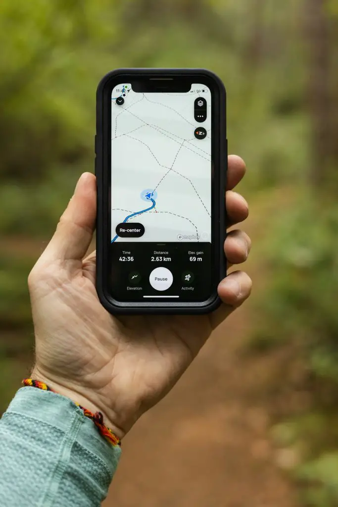
Ever found yourself deep in the woods or on a mountain where your phone signal disappears? If you’ve relied only on Google Maps, you probably felt a little lost. While Google Maps is great in cities, it doesn’t always work well offline. But don’t worry! There are some awesome alternatives that shine when you’re off the grid.
Let’s dive into these fun, smart, and simple apps that keep you on track even when your internet doesn’t.
1. Maps.me – Fast and Easy Offline Maps
Perfect for hiking, biking, or even driving around remote villages.
Maps.me is a favorite for many adventurers. You can download entire countries or regions at once. No need for data while traveling!
- 100% offline after you download the maps
- Highly detailed – includes hiking trails, campsites, and more
- Fast and light – doesn’t eat up your battery
Best of all, it’s FREE! Just make sure to download maps before your trip.

2. Organic Maps – For Nature Lovers
Simple, clean, and fully open-source. This is a gem for outdoor lovers!
Organic Maps is created by former Maps.me developers. It’s made with privacy and nature in mind. No ads. No data tracking. Just pure, helpful maps.
- Works offline with downloadable maps
- Great trail and terrain info – super handy in the wilderness
- No distractions – no pop-ups, no spam
If you’re backpacking or off-roading, this app is your trusted buddy.
3. Gaia GPS – Charts for the Wild Explorer
Used by real explorers, backcountry skiers, and serious hikers.
Gaia GPS offers rich layers of maps, from topographic to satellite imagery. You can track your route and even plan with a web version before heading out.
- Topographical maps with elevation info
- Offline capabilities with route tracking
- Premium options for serious adventurers
It’s ideal if you want next-level planning and details. Free version available—but the Pro version unlocks its full powers!

4. OsmAnd – Power and Customization
Want to feel like a cartographer with endless tools? Try OsmAnd.
OsmAnd (Open Street Maps Automated Navigation Directions) is a powerful offline navigation app built on OpenStreetMap data. It’s accurate and very customizable.
- Full offline functionality – maps, routes, search tools
- Voice-guided navigation for driving, biking, walking & hiking
- Plugin support like ski models or harbor chains
The app is regularly updated and provides fantastic detail. It does have a learning curve, but it’s worth it if you like features and freedom.
5. HERE WeGo – Not Just for Cities
Looks like a city app, but don’t be fooled—it can handle off-grid too!
HERE WeGo started life as a navigation system for cars but has grown quickly. You can now download full country maps and navigate offline with ease.
- Solid offline routing for driving with voice directions
- Supports public transport in some regions
- Simple interface that’s easy to learn
It’s great for road trips across borders or if you want a familiar interface with solid offline power.
6. Locus Map – Map Fan Paradise
Advanced users, look here!
Locus Map is packed with features. Perfect for hikers, bikers, geocachers, and skiers who want a reliable, fully offline experience. You can download many types of maps for different adventures and overlay them!
- Highly customizable maps and recordings
- Track statistics like elevation and speed
- Online sync and planning tools
There’s a free version, but the Pro version unlocks the serious stuff—like live tracking and cloud storage.


7. Avenza Maps – For Professional and Printable PDFs
Ever wanted to use paper maps… on your phone?
Avenza Maps lets you download geo-referenced PDF maps and use them offline. It’s great for those who already have specific topographical maps or printed trail guides.
- Import your own maps in PDF or TIFF format
- Track GPS while using custom maps
- Store offline, and use in airplane mode
It’s a bit different but super cool if you’re into printed maps or use government survey charts.
How to Pick the Right One?
There’s no “one app fits all.” Here are a few tips to guide your choice:
- For offline simplicity: Go with Maps.me or Organic Maps
- For advanced terrain tracking: Try Gaia GPS or Locus Map
- For road trips: HERE WeGo does a great job
- For custom or printed maps: Avenza Maps is your best pick
Before your next trip, take a little time to test them at home. Download maps, try the menus, and explore their features. The last thing you want is to be fumbling in the forest!
Tips for Offline Navigation Success
- Download maps over Wi-Fi before you go
- Carry a power bank to keep your phone alive
- Enable airplane mode to save battery while offline
- Practice first in a nearby park or trail
With the right app and a bit of prep, you’re ready to conquer the wild with confidence. Even with zero bars on your phone!
Final Thoughts
Google Maps may be king in the city, but when you’re headed into the unknown, it’s time to upgrade. Pick the app that suits your journey and try it out before you need it for real. You’ll have a smoother adventure, zero stress, and maybe even discover a hidden waterfall or two along the way.
Now go. Get out there. Explore the far corners of the world with confidence—and maybe leave Google behind, just for a little while.